Internetes ár: 0 Ft
Kategóriák
- Újdonságok
- A legnépszerűbb helyek
- Akciók
- Falitérkép
- Földgömb
- Kerékpár
- Sport és szabadidő
- TÉRKÉP
- * Hajózási térképek
- Afrikai térkép
- Amerikai térkép
- Ausztráliai térkép
- Ázsiai térkép
- Európai térkép
- Magyarországi térkép
- Világatlaszok
- ___ Kiadók
- Túra és hegymászó könyvek
- Útikönyv
- Útikönyv angol nyelven
- Útikönyv német nyelven
- Útleírások
- _ Utazók áruháza
Termékajánló
TOP termékek


 13 900 Ft
 1 490 Ft
 6 990 Ft


 - Stiefel")
 - Nova Rico")

 - Nova Rico")

Partnereink
Szavazás

Termék részletek

| Tömeg |
150 g/db
|
| Rövid leírás a termékről |
térkép 1 : 1 750 000 méret: 86x94cm Gizimap |
| A termék tulajdonságai |
omalia at 1:1,750,000 from Gizi Map covering the whole territory within the internationally recognized borders of the country and showing its current (autumn 2012) de facto division into Somaliland and Somalia, as well as the self-proclaimed autonomous states within Somalia: Puntland, Galmudug and Jubaland, plus the disputed region claimed by Somaliland but under Puntland administration. Also marked are internal administrative borders within these states/regions and names of the provinces. All place names are given in the Latin alphabet with, where appropriate, alternative names or transliterations. Topography is vividly presented in the cartographic style characteristic of Gizi Map: altitude colouring, graphics for swamps, salt flats and deserts, plenty of names of mountain ranges and other geographical features, spot heights, water wells, etc. Road network includes country tracks and gives distances on main routes. Local airports and seaports are marked and a range of symbols indicate various places of interest, including locations with hotel accommodation, historical sites, etc. Coverage includes Djibouti and the eastern part of Ethiopia. Latitude and longitude lines are drawn at 1° intervals. The index is next to the map, with separate lists for Somaliland, Somalia and Djibouti. Multilingual map legend includes English and Arabic. Also provided are two plans of Mogadishu: a general map of the town showing names of districts and main traffic routes, plus a more detailed street plan of the central area. Both are annotated with various facilities and places of interest. |
| ISBN |
9 786 155 010 101
|
Vélemények a termékről
Vásárló belépés
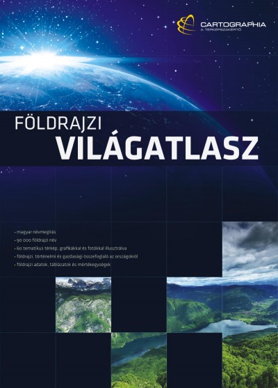
Új Világatlasz
Az Ország Boltja

FOXPOST

Látogató számláló
1
7
6
7
4
2
0
ÁRUKERESŐ
Tanúsítvány
