Internetes ár: 0 Ft
Kategóriák
- Újdonságok
- A legnépszerűbb helyek
- Akciók
- Falitérkép
- Földgömb
- Kerékpár
- Sport és szabadidő
- TÉRKÉP
- Túra és hegymászó könyvek
- Útikönyv
- Útikönyv angol nyelven
- Útikönyv német nyelven
- Útleírások
- _ Utazók áruháza
Termékajánló

 - RO 4436")

 - RO 4359")
 - Cicerone Press")
TOP termékek


 13 900 Ft
 1 490 Ft
 6 990 Ft


 - Stiefel")
 - Nova Rico")

 - Nova Rico")

Partnereink
Szavazás

Termék részletek

| Tömeg |
150 g/db
|
| Rövid leírás a termékről |
térkép 1 : 500 000 89x120cm Institut Geographique National |
| A termék tulajdonságai |
Clear, general map of the country with plans of Lomé and Kara. Contours at 80m intervals and relief shading indicate the country' topography, with different types of vegetation from tropical forests to plantations also shown. Communications network includes seasonal roads and tracks, railways, airports and aerodromes. Internal administrative boundaries are marked, and symbols indicate hospitals and medical centres, petrol stations, post offices, hotels and places of interest, etc. Latitude and longitude grid is at 30' intervals. Map legend is in French only. The map also includes plans of Lomé and Kara, giving names of main streets and districts and marking various facilities and administrative offices. There is also an administrative map of the country, and a distance table. Outside the country's boundaries only the main roads and rives are shown, with a few place names but no topography. NB. The map also shows the grid for the 1:200,000 topographic survey of Togo prepared by IGN in 1980s. Detailed topographic maps of France's ex-colonies are now available only as reproductions from the IGN library, and in many cases special permits from the African governments are needed to purchase them. Costs vary, but are always considerably higher than for current topographic maps of this kind. In any enquiries please indicate full sheet numbers and titles, e.g. Kara, NC-VII-VIII. |
Vélemények a termékről
Vásárló belépés
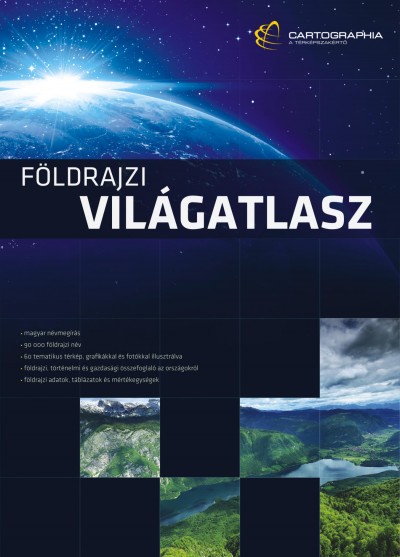
Új Világatlasz
Az Ország Boltja

FOXPOST

Látogató számláló
1
7
6
6
2
6
4
ÁRUKERESŐ
Tanúsítvány
