Internetes ár: 0 Ft
Kategóriák
- Újdonságok
- A legnépszerűbb helyek
- Akciók
- Falitérkép
- Földgömb
- Kerékpár
- Sport és szabadidő
- TÉRKÉP
- Túra és hegymászó könyvek
- Útikönyv
- Útikönyv angol nyelven
- Útikönyv német nyelven
- Útleírások
- _ Utazók áruháza
Termékajánló
TOP termékek


 13 900 Ft
 1 490 Ft
 6 990 Ft


 - Stiefel")
 - Nova Rico")

 - Nova Rico")

Partnereink
Szavazás

Termék részletek

| Tömeg |
150 g/db
|
| Rövid leírás a termékről |
térkép 1 : 100 000 87x96cm Institut Geographique National |
| A termék tulajdonságai |
Topographic map of Mauritius at 1:100,000 from the Institut Géographique National, France's national survey organization, with enlargements at 1:25,000 of Port Louis and Curepipe, plus a climate map of the island. Topography is shown by relief shading with colouring indicating woodlands and sugar cane or tea plantations. In the coastal waters coral reefs are marked. Road network indicates irregularly maintained roads and includes local tracks and footpaths. Scenic routes are highlighted. A range of symbols marks both the usual features found on topographic maps at this scale and tourist information such as hotels and holiday villages, public gardens, golf courses, beaches and diving sites, etc. Various settlements are annotated with lists of places of interest. The map has latitude and longitude lines at intervals of 10' plus UTM margin ticks. Map legend is in French and English. Enlargements at 1:25,000 show Port Louis and Curepipe with names of main streets and public buildings or services. Also provided are bilingual notes about the island's history and two small maps showing its climate and administrative divisions. |
Vélemények a termékről
Vásárló belépés
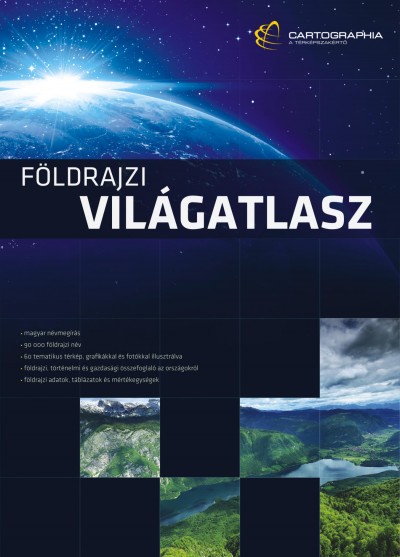
Új Világatlasz
Az Ország Boltja

FOXPOST

Látogató számláló
1
7
6
8
0
7
5
ÁRUKERESŐ
Tanúsítvány
